Turn by turn
Random point of interest
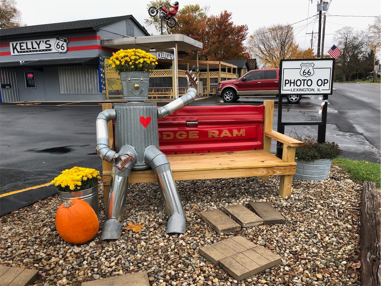
Kelly’s on 66
Kelly's on Route 66 is housed in an historic building that has been used as a ...
DetailBaxter Springs
See the westbound or the eastbound Route 66 descriptions.
| Population | 4246 (2005) |
| Elevation | 835 feet |
| Settled | 1849 by John Baxter |
| Incorporated | 1868 |
| County | Cherokee |
| State | Kansas |
| West: Quapaw, OK |
East: Riverton, KS |
History
Baxter Springs was settled in 1849 by John J. Baxter on 160 acres of land. He started an inn and general store known as Baxter’s place near what is now known as military Road, but at the time featured springs known for their healing properties by the natives.
For a while, Baxter Springs was a booming Cattle town with space for 20000head of cattle. But the extension of the railroad into Texas made that obsolete.
On October 6th, 1863, the Baxter Springs Massacre/Battle happened. William Quantrill killed most of the men of General James Blunt in a surprise attack outside Baxter Springs leaving very few of the union soldiers alive. The attack continued against an unprepared Lt. James Pond atn Ft. Blair in Baxter Springs. Some of the victims are laid to rest in the National Cemetery to the east of Baxter Springs itself.
Up to the 1930s Military Avenue featured a street car that connected to Riverton, Galena and Joplin.
Note the high number of bank robberies, the ghost stories, the massacre, add in 2 Marshalls being killed (one by the mayor) and you have one active Route 66 town.
Area attractions
Mural on south wall of the National Bank
National cemetery #2
Tri-State Marker
Former site of the Inn and General store by John Baxter
Ft. Blair
Baxter Springs Heritage Center and Museum
Old Phillips 66 gas station
Places to eat
Cafe on the Route
Murphy’s Restaurant
Places to stay
Little Brick Inn


