Turn by turn
Random point of interest
Old Police Station
Built in 1941, the District 6 Illinois State Police office is an example of Art Moderne architecture. ...
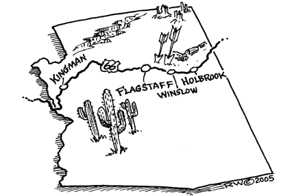
DetailWinslow – Flagstaff
ArizonaPrinting this description can take a lot of time, so you might want to consider buying commercially available alternatives such as the 8 map set and the EZ66 guide to take along on your trip.
Winslow
Leave I-40 at exit 257.
Sidetrip: Homolovi Ruins State Park: 1.3 miles to the north on AZ-87.
Cross to the south side.
Turn right onto BL-40 (AZ-66, AZ-87)
Turning left to the dead-end at the east, is also Route 66 and it leads to the Minnetonka Trading Post.
Note the front of the building made of petrified wood.
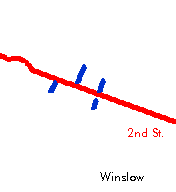
Through Winslow Route 66 westbound is 3rd St. (since 2nd St. became one way in 1951)
Through Winslow Route 66 eastbound is 2nd St.
Withing Bros. HQ.
Old Trails Museum at 212 Kinsley
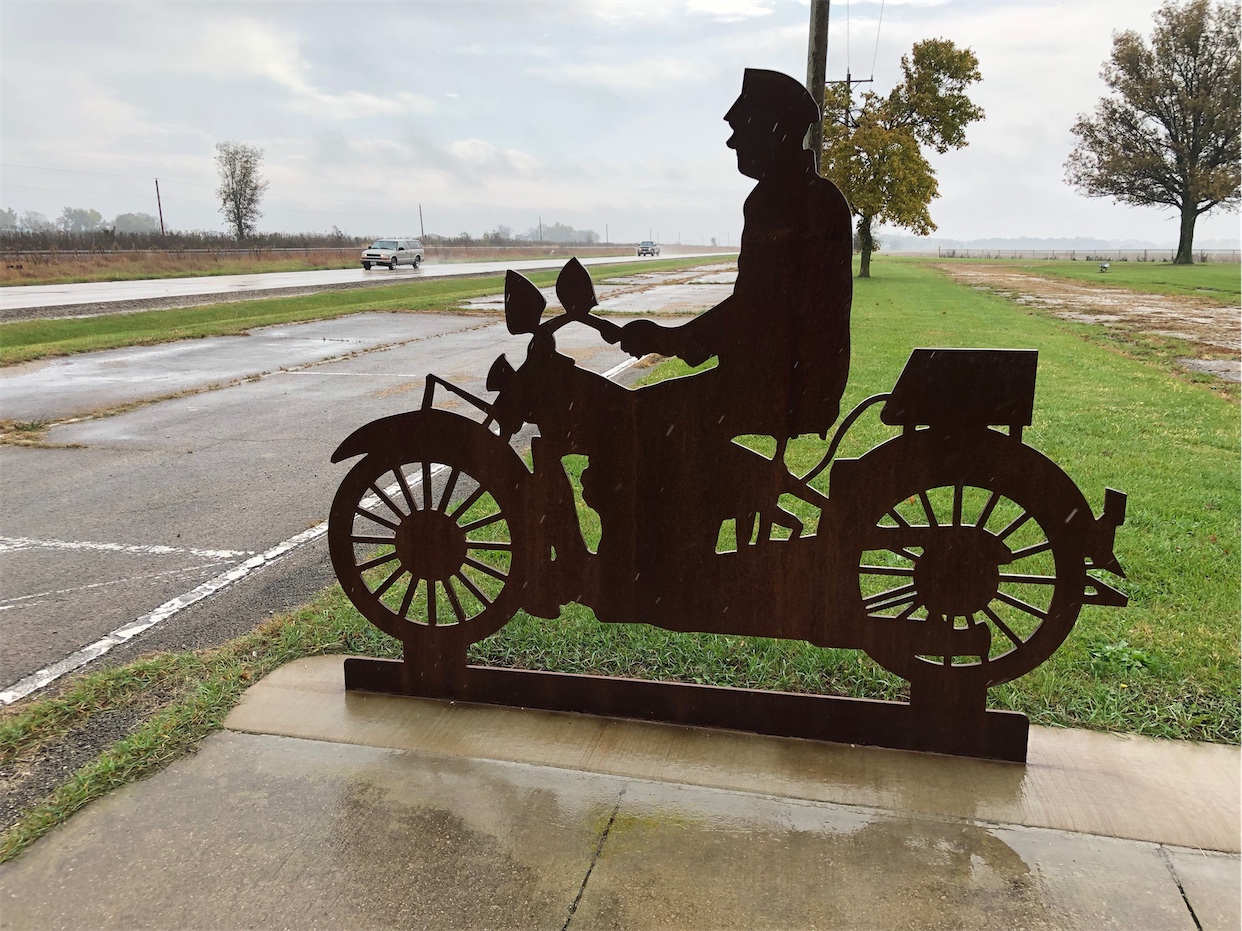
‘The’ corner from The Eagles’ song “Take it Easy” is at 2nd St. and Kinsley. A fire destroyed the building behind the statue in October 2004. The wall with the mural is still there and might get saved. The site was closed due to the danger posed by the still stnading wall in the summer of 2005.
La Posada, a former Harvey House on the south side at 303 E. 2nd St. Has been restored to a working hotel.
Before rejoining I-40, turn left onto 3rd St. (AZ-99)
The first part of this is Route 66 from the 1960’s
Turn left (=south) on Adot Ln. (not Route 66)
Turn left on 2nd St. (Route 66 till 1951).
This road continues on to 2nd St. though town.
Tonto Drive-In Theater (ruins).
West of Winslow, turn right at the access to I-40.
Join I-40 at exit 252
The pre 1951 alignment is on the right of I-40 (undrivable beyond where the frontage road ends.
Leupp Corner
Continue on I-40 at exit 245.
Leupp Corner Trading Post on the northern frontage road (Route 66 till 1969).
Meteor City
Continue on I-40 at exit 239.
Meteror City Trading Post on the south frontage road (Route 66 from 40’s till 1969).
The frontage road dead-ends.
To the north was the pre 1940’s alignment, however it is private property now.
Continue on I-40.
After 2.5 miles on I-40, to the right: old Route 66 bridge over the railroad (Sunshine overpass) [private property].
Cross Cow Canyon.
Old bridge on Route66 at the south side.
Continue on I-40 at the rest are near milepost 235.
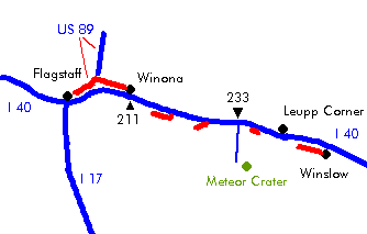
Meteor Crater
Continue on I-40 at exit 233.
Old sixtysix 0.2 mile to the south of the exit on Meteror Crater Rd. is Route 66 (till 1940’s), but private property.
Near the south side rest area is the former Meteror Crater Observatory (ruin), when it was open one could see meteor crater with a telescope from there.
Sidetrip: Meteor crater, south at 6 miles from I-40 at exit 233
Two Guns
Continue on I-40 at exit 230.
To the southwest is the former tourist place. Things here included among others a small zoo (mountain lions sign).
Waring: be carefull exploring this area, it’s not maintained!
The road did take a more southern route through Canyon Diable till the 1930’s.
Cross Canyon Diable on I-40.
Continue on I-40 at exit 225.
The pre 1960’s route 66 is more to the south (undriveable).
Twin Arrows
Continue on I-40 at exit 225.
To the east is the southern frontage road the 1926-1060’s alignment.
Former Toonerville Trading Post is on to the east.
The southern frontage road was the 1937-1960’s alignment. It dead-ends at Canyon Padre. The 1926-1937 alingment is gone and was more to the northwest, across I-40.
The former truck stop is to the west on the southern frontage road.
Padre Canyon Bridge is to the northwest just past the Twin Arrows exit on private property. Access from exit 211 (Winona) and heading back over unpaved roads to the north of I-40.
Winona
At exit 211:
| Pre 1947 | Post 1947 |
|---|---|
|
As the song goes: Don’t forget Winona. Leave I-40 at exit 211. Turn right onto Camp Townsend-Winona Rd. (CR-394) Continue on Camp Townsend-Winona Rd. (CR-394) as it twists for about 10 miles. Turn left at the intersection with US-89. Continue for 2 miles on US-89. Continue straight onto Santa Fe Ave. (BL-40, US-180, US-66, US-89) at the turn-off towards I-40 near exit 201. Flagstaff |
Continue on I-40 at exit 211. Continue on I-40 at exit 207. Leave I-40 at exit 204. Continue on the Santa Fe Ave. (US-180, US-66) (1947-1968 alignment). Cross the railroad tracks. FlagstaffEnter Flagstaff on Santa Fe Ave (US-180, US-66) |
|
continue |
|


