Turn by turn

Random point of interest
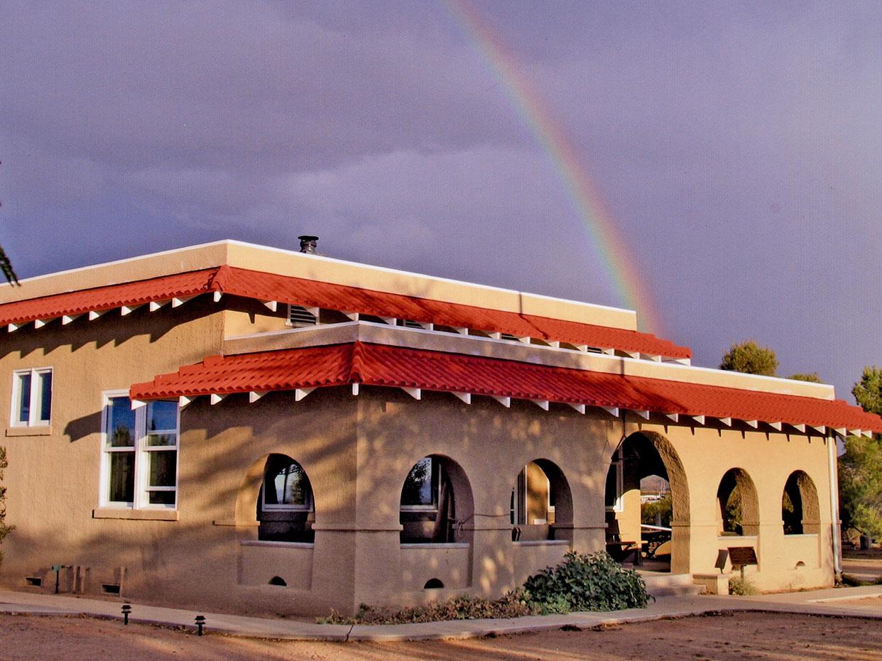
Goffs Historic 1914 Schoolhouse Museum
Come visit the Goffs Schoolhouse Museum! The museum offers the restored 1914 schoolhouse as well as ...
DetailWestbound Chenoa
Printing this description can take a lot of time, so you might want to consider buying commercially available alternatives such as the 8 map set and the EZ66 guide to take along on your trip.
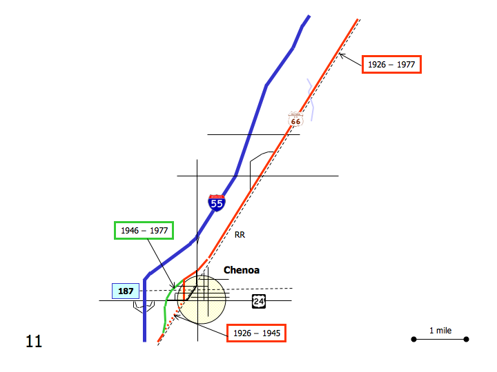
Map courtesy of Stefan Joppich – Legend
Continue on Old Highway 66.
Ocoya
Grain Silos are about all you’ll find here nowadays.
Straight ahead at the intersection with IL-8.
Continue on Old Highway 66.
Chenoa
At the intersection with Morehead St., a choice of alignments is available:
| 1926-1945 | post 1946 |
|---|---|
|
Recommended Left onto Morehead St. (=south).
Left (=east) on Owsley St. Cross the railroad tracks North at the intersection with Veto St.: Chenoa depot. To the south at the intersection with Veto St.: Chenoa pharmacy. return to Morehead St. Turn right (=west) onto US-24 (Cemetery Ave.), leaving Route 66 for a short stretch to rejoin the more recent alignment. Look across the street for the original alignment continuing along the railroad tracks. Turn left (=south) onto the former 4-lane 66. |
Bypass Chenoa Continue on Old Highway 66. |
| Rejoin at the intersection of Old Highway 66 and Cemetery Rd. heading southwest on Old Highway 66. |
|
Chenoa Family Restaurant at 508 W. Cemetery Ave.
Site of the former Chenoa motel.
Continue south on Old Route 66 (2780 East Rd.).
