Turn by turn
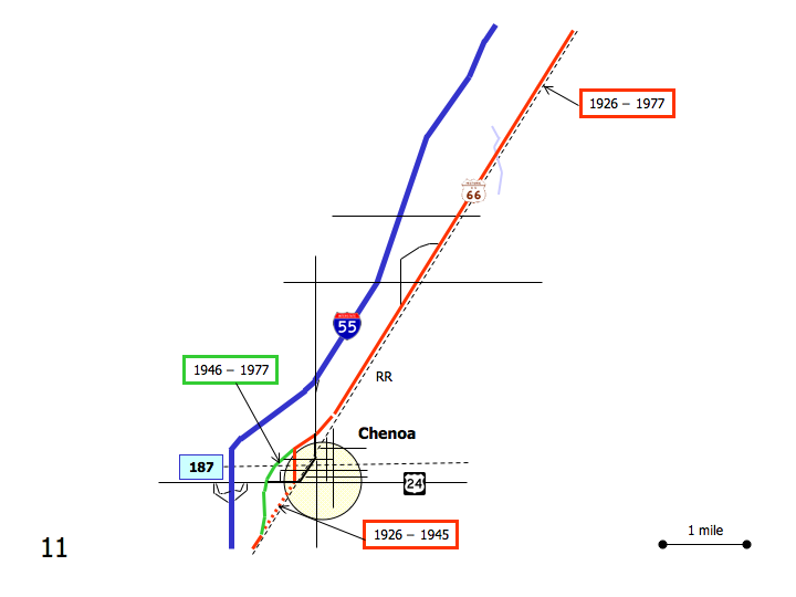
Westbound Chenoa
Printing this description can take a lot of time, so you might want to consider buying commercially available alternatives such as the 8 map set and the EZ66 guide to take along on your trip.
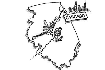
Map courtesy of Stefan Joppich – Legend
Continue on Old Highway 66.
Ocoya
Grain Silos are about all you’ll find here nowadays.
Straight ahead at the intersection with IL-8.
Continue on Old Highway 66.
Chenoa
At the intersection with Morehead St., a choice of alignments is available:
| 1926-1945 | post 1946 |
|---|---|
|
Recommended Left onto Morehead St. (=south).
Left (=east) on Owsley St. Cross the railroad tracks North at the intersection with Veto St.: Chenoa depot. To the south at the intersection with Veto St.: Chenoa pharmacy. return to Morehead St. Turn right (=west) onto US-24 (Cemetery Ave.), leaving Route 66 for a short stretch to rejoin the more recent alignment. Look across the street for the original alignment continuing along the railroad tracks. Turn left (=south) onto the former 4-lane 66. |
Bypass Chenoa Continue on Old Highway 66. |
| Rejoin at the intersection of Old Highway 66 and Cemetery Rd. heading southwest on Old Highway 66. |
|
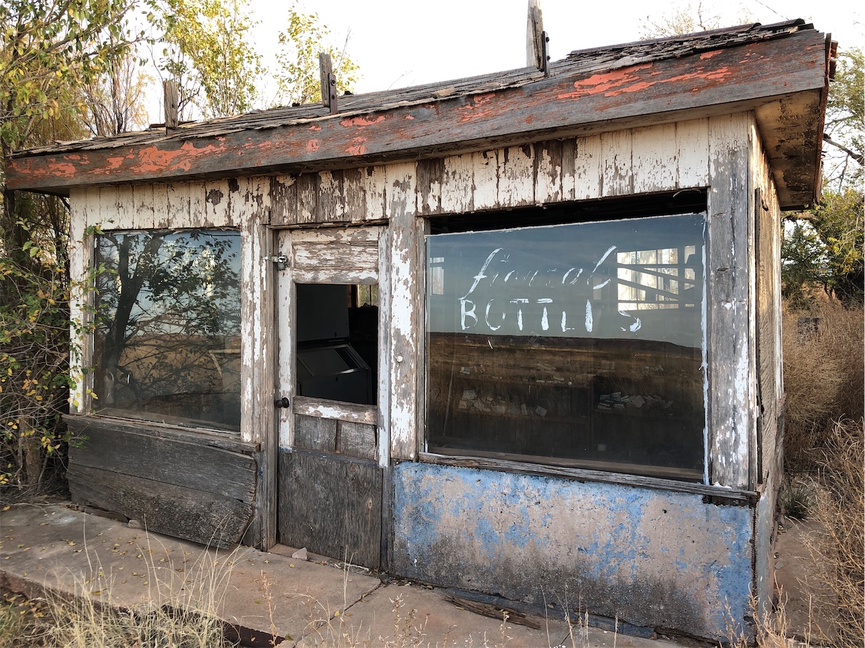
Chenoa Family Restaurant at 508 W. Cemetery Ave.
Site of the former Chenoa motel.
Continue south on Old Route 66 (2780 East Rd.).


